
This post is in response to a question (10 Sep. 2025) posted by Hiro in the comments section of Rodney Inefuku’s “Haneji Community Center – Sometime After 1945” (27 January 2015): “Hi! Do you know where can I see a map showing exactly were was Haneji? People told me that today that location is part of Nago, but I can see maps with Nago, but nothing showing the exact place.”
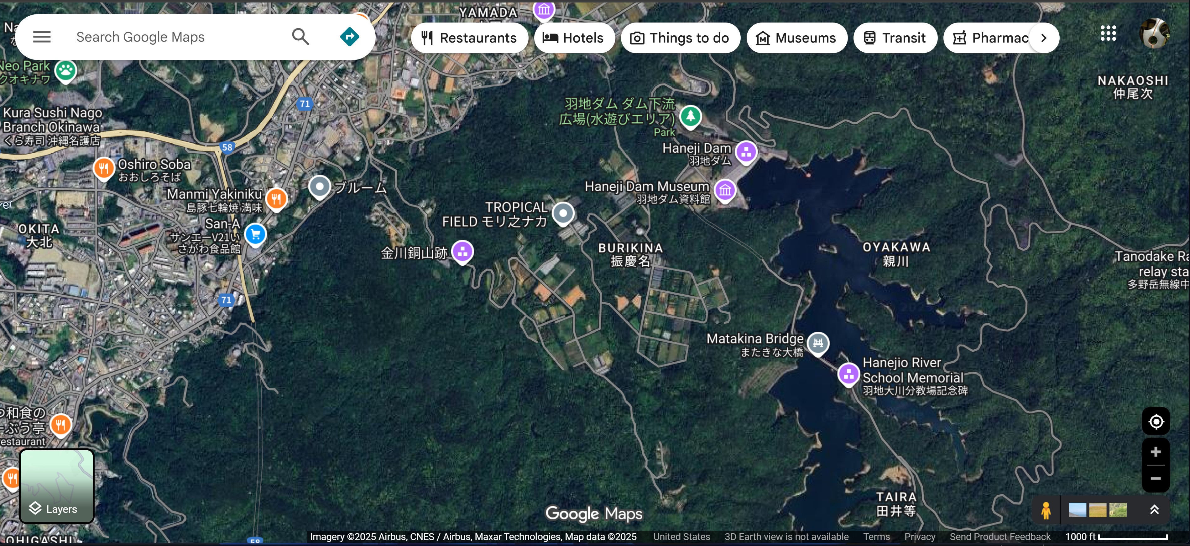
Hi, Hiro. Here’s a screen capture from Google Maps that shows the present-day Haneji area, which is in Nago, Okinawa:

Response from Rodney Inefuku (9/19/25)

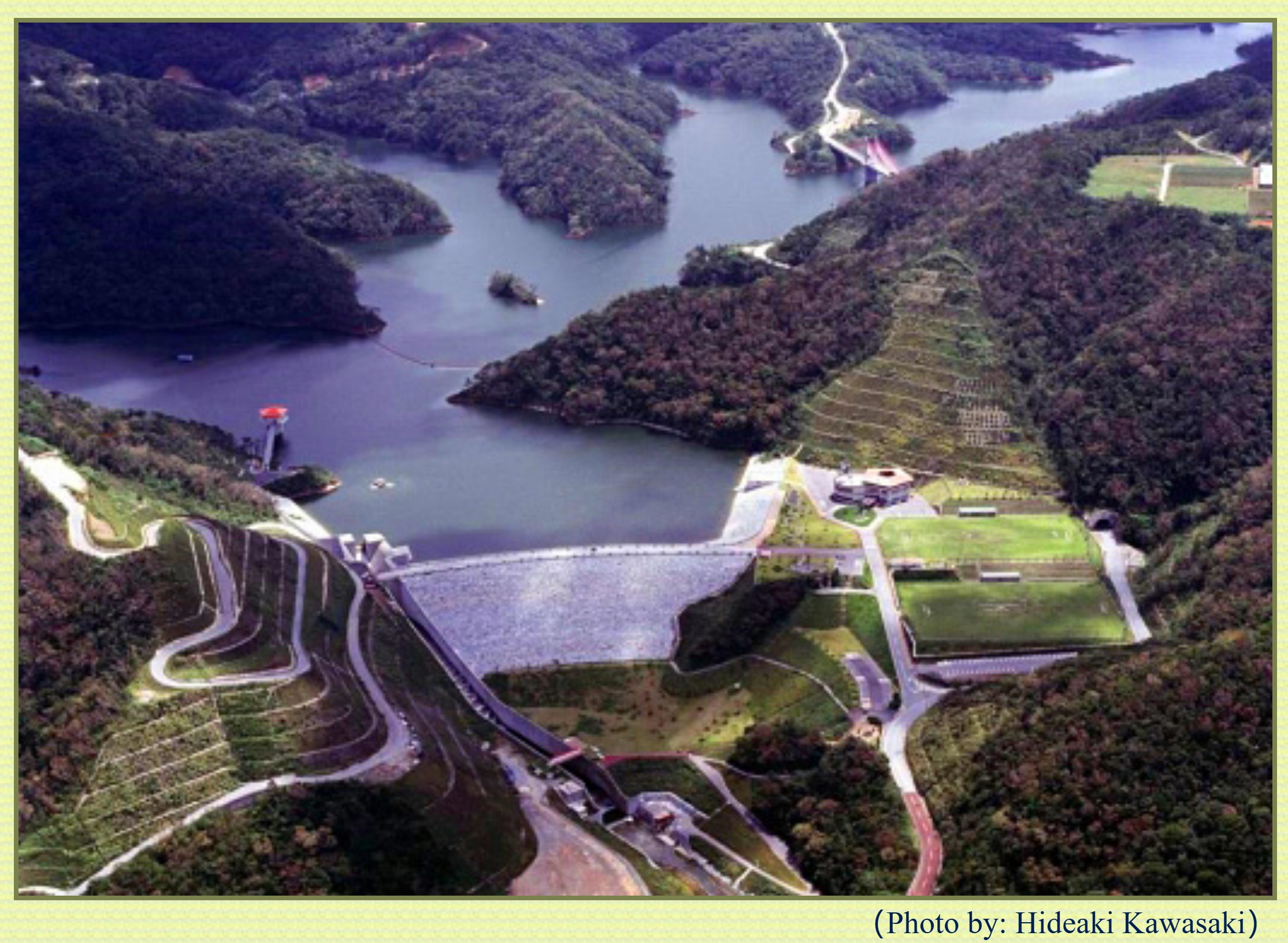
The 1st map shows where Haneji is in Okinawa. As you can see, it’s to the right of Nago. The 2nd map shows you some villages that are in Haneji – Kogachi, Gabusoka, Goga, Isagawa, Burikina, Nakao, Taira, Kawakami, Nakaoshi, and Makiya. The map shows where Nago and the Haneji dam are located. The 2nd map doesn’t show where Oyakawa village is, but the 3rd map does. My Inafuku family comes from Oyakawa village.
Haneji JHS used to be Haneji Elementary school that my Dad attended back during the early 1920s. Haneji River (blue line) comes from Haneji Dam, runs between Kawakami village and HWY 58 to Nakaoshi (used to be called Nakoshi) village. During the early 1920s, there used to be a dyke which created a pond next to Kawakami village where the kids from Kawakami, Oyakawa, and Taira villages used to go swimming. It’s not there anymore. Hope this helps.
Update by Rodney on 9/22/25: Hi Jim. Three comments about Haneji came to mind. You may want to add this to your Liuchiuan website:
1. Three more things about Haneji, Haneji river and Kawakami village. My Dad told me that because Kawakami village was next to Haneji river, it had a community bath house where folks could go to take a bath for a few cents. There was a certain time for women, and a certain time for men.
2. Kawakami village had a sugar mill where sugar cane farmers around Haneji would bring their harvested sugar cane stalks from their fields to make sugar. I think they used an ox walking around in a circle to drive the sugar cane crusher.
3. My Dad told me that when he walked from Oyakawa village to his elementary school close to Nakoshi village, he would walk past dry taro patches along the way. From his elementary school, he could see the fishing boats at the piers in Nakoshi village.


The 1st map shows where Haneji is in Okinawa. As you can see, it’s to the right of Nago. The 2nd map shows you some villages that are in Haneji – Kogachi, Gabusoka, Goga, Isagawa, Burikina, Nakao, Taira, Kawakami, Nakaoshi, and Makiya. The map shows where Nago and the Haneji dam are located. The 2nd map doesn’t show where Oyakawa village is, but the 3rd map does. My Inafuku family comes from Oyakawa village. Haneji JHS used to be Haneji Elementary school that my Dad attended back during the early 1920s. Haneji River (blue line) comes from Haneji Dam, runs between Kawakami village and HWY 58 to Nakaoshi (used to be called Nakoshi) village. During the early 1920s, there used to be a dyke which created a pond next to Kawakami village where the kids from Kawakami, Oyakawa, and Taira villages used to go swimming. It’s not there anymore. Hope this helps.
[image: OkinawaMap2.jpg] [image: HanejiMap7.jpg] [image: Hanejimap2b.jpg]
Mahalo, Rodney. I added your response + maps to my earlier response to Hiro. -Jim